Gobannium
Gobannium is the Roman name for the ancient settlement that underlies the modern town of Abergavenny in Monmouthshire, south-east Wales. The coordinates 51.81843, -3.01929 place this point within the town itself, close to the area where the Roman fort once stood. Abergavenny is one of the most historically layered small towns in Wales, sitting at the confluence of the rivers Usk and Gavenny, and its Roman origins give it a distinction that most Welsh market towns cannot claim. The name Gobannium is thought to derive from a Brythonic root related to the word for a smith or smithy, possibly reflecting a pre-Roman settlement of metalworkers in this mineral-rich landscape, though some scholars connect it to the river name. It was a significant staging post and fort in the Roman network that connected the legionary fortresses at Caerleon and Caernarfon to the wider system of roads across what is now Wales.
The Romans established the fort at Gobannium in the late first century AD, likely during the campaigns of the governor Sextus Julius Frontinus against the Silures tribe in the 70s AD. The fort was positioned strategically where the Gavenny meets the Usk, commanding routes into the Brecon Beacons and controlling the valley corridors that allowed movement of troops and supplies through otherwise difficult terrain. The garrison here was relatively modest in size compared to the great legionary fortresses, serving more as an auxiliary station along Sarn Helen and related Roman roads. Evidence of occupation has been found in various archaeological investigations over the years, including tiles, pottery, coins and structural remains, though much of the Roman town lies beneath the medieval and modern layers of Abergavenny itself. After Roman withdrawal from Britain in the early fifth century, the site continued to attract settlement, and by the Norman period a castle was established here, with Abergavenny Castle becoming notorious as the scene of a brutal massacre in 1175 when Sytsyllt ap Dyfnwal and his followers were killed by the Norman lord Ranulf de Broc under the orders of Richard de Clare.
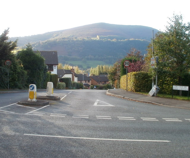
The physical character of Abergavenny today is that of a handsome Welsh market town enclosed by a remarkable ring of hills that gives it an almost alpine atmosphere, unusual for lowland Britain. The Blorenge to the south-west, the Sugar Loaf to the north-west, and the Skirrid Fawr to the north-east form a dramatic skyline visible from almost everywhere in the town. The streets near the castle and the old town centre have a pleasantly worn, unhurried quality, with independent shops, a covered market hall, and buildings that span several centuries of architectural change. On market days there is a liveliness and a faint smell of fresh produce and baked goods drifting through the narrow lanes near the market. The castle ruins themselves, though modest in what survives above ground, sit within a small park where a hunting lodge within the walls houses the town's local museum.
The surrounding landscape is extraordinary and forms a major part of Abergavenny's identity, earning the town its informal title as the Gateway to the Brecon Beacons. The Brecon Beacons National Park boundary runs very close to the town, and walkers can access significant hill routes directly from the streets without needing further transport. The River Usk, broad and fast-flowing here, offers beautiful riverside walks and is popular with anglers. The town sits at a crossroads of cultures, right on the historic border between England and Wales, and the surrounding countryside is dotted with ancient churches, hill forts, and farmsteads that speak to centuries of continuous habitation.
For visitors, Abergavenny is easily reached by train on the line running between Cardiff and Crewe, with the station a short walk from the town centre. By road it sits on the A40 and is accessible from the A465 Heads of the Valleys road, and is roughly equidistant from Cardiff, Newport, and Hereford. The town is well served with accommodation ranging from independent guest houses to larger hotels. The best times to visit are late spring through early autumn when the walking conditions are most favourable and the hills are at their most dramatic and accessible, though the town is also celebrated for its annual Food Festival in September, which draws visitors from across Wales and beyond and has helped cement Abergavenny's reputation as something of a foodie destination. The Abergavenny Museum within the castle grounds is free to enter and provides excellent context for the Roman and medieval history of the site.
One of the more compelling and lesser-known aspects of Gobannium and its legacy is how thoroughly the Roman street grid and fort outline have been absorbed into Abergavenny's modern layout, with certain road alignments and property boundaries possibly reflecting ancient Roman organisation of the space. The town also sits within a landscape that was sacred and contested long before the Romans arrived, with the Skirrid Fawr carrying strong folklore associations including legends of the hill splitting at the moment of the Crucifixion, and an ancient chapel on its slopes that drew pilgrims for centuries. The interweaving of Roman, early medieval, Norman, and Welsh histories at this single location gives Gobannium and its descendant town a depth that rewards slow, attentive visiting rather than a quick pass through.