Mynydd Llangyndeyrn
Mynydd Llangyndeyrn is a prominent upland common situated in Carmarthenshire, south-west Wales, rising above the village of Llangyndeyrn in the Gwendraeth Valley. The mountain — or more accurately the moorland hill — forms part of the rolling upland terrain that characterises this part of rural Wales, sitting between the coastal lowlands of the Gwendraeth Fach valley and the broader moorlands extending toward the Preseli Hills to the west and the Brecon Beacons to the east. It is designated as common land, which means it retains a sense of open, undeveloped wildness that has largely disappeared from much of lowland Britain. The summit area affords sweeping panoramic views across Carmarthenshire and, on clear days, out toward the Pembrokeshire coast and the waters of Carmarthen Bay. While not a famous tourist destination in the conventional sense, it holds a very particular and deeply felt significance in the story of Welsh rural resistance during the twentieth century.
The most remarkable chapter in the history of Mynydd Llangyndeyrn is the story of the community's fierce and ultimately successful campaign to prevent the flooding of their valley. In the early 1960s, Swansea Corporation proposed to construct a reservoir in the lower Gwendraeth Fach valley, which would have submerged the village of Llangyndeyrn itself along with hundreds of acres of productive farmland, ancient homes, a school, a chapel, and a way of life rooted in the Welsh language and a close-knit rural culture. The local community, led by figures including the Reverend W.M. Rees and farmer Gwynfor Thomas, organised an extraordinary campaign of peaceful resistance. When surveyors arrived on the common to carry out preliminary work, local farmers and residents physically blocked their access, preventing the survey from taking place. This stand was repeated whenever attempts were made to access the land, and the sheer solidarity and determination of the community eventually convinced the authorities to abandon the scheme. The valley was saved. This episode is now celebrated as one of the finest examples of grassroots Welsh civic resistance, a story of an entire community standing as one to defend its land, its language, and its identity.
The success of Llangyndeyrn's campaign is often contrasted with the fate of Capel Celyn in Gwynedd, the Welsh-speaking community that was drowned beneath the Tryweryn reservoir in 1965 despite widespread protest from across Wales. The comparison is instructive and poignant: whereas Capel Celyn's community was powerless against an Act of Parliament pushed through by Liverpool Corporation, the people of Llangyndeyrn acted quickly, locally, and with extraordinary discipline, denying surveyors the data they needed before parliamentary authorisation could be sought. The timing of their resistance — catching the proposal at an early enough stage — proved decisive. This distinction has made Mynydd Llangyndeyrn a symbol of what organised, determined community action can achieve, and the events of those years in the early 1960s are still spoken of with quiet pride in the area.
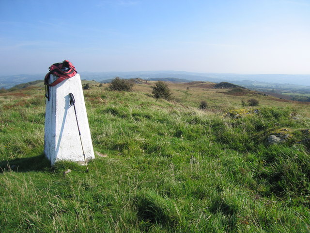
Physically, Mynydd Llangyndeyrn is a broad, gently undulating moorland plateau rather than a dramatic rocky peak. The landscape is typical of the south Welsh uplands at this modest elevation: rough grassland, bracken, patches of heather, boggy hollows and the occasional cluster of wind-shaped hawthorn or gorse. The ground underfoot can be soft and wet, particularly after rain, and the wide skies above give the place a feeling of exposure and openness that is simultaneously invigorating and humbling. On a grey day, the moorland can feel austere and elemental, with the sound of wind moving through the bracken and the calls of curlew, lapwing, or red kite overhead. On a fine day, the views are genuinely expansive, stretching out across the patchwork farmland of the Gwendraeth Valley below, with the distant glimmer of the sea visible to the south-west and the upland ridges of the Carmarthenshire hinterland rising in every other direction.
The surrounding area is rich in the quiet character of rural Welsh-speaking Carmarthenshire. The village of Llangyndeyrn itself sits below the common, a small, unpretentious settlement with deep roots in Welsh nonconformist culture. The Gwendraeth Fach river winds through the valley floor, a gentle and unassuming waterway that, had history taken a different turn, would now lie beneath tens of metres of reservoir water. The nearby town of Kidwelly (Cydweli in Welsh) lies a short distance to the south and is home to a remarkably well-preserved medieval castle. The market town of Carmarthen lies to the north-east, and Llanelli to the east. The broader landscape of this part of Carmarthenshire is one of drumlins, hedged fields, and ancient lanes, quintessentially Welsh in character and still strongly Welsh-speaking in everyday life.
For those wishing to visit Mynydd Llangyndeyrn, the common is accessible on foot from the lanes around the village of Llangyndeyrn, with informal paths and tracks leading up onto the open ground. There is no formal visitor infrastructure — no car park, no visitor centre, no waymarked trail — which gives the place a pleasing authenticity and sense of remoteness despite being within reasonable distance of the A48 and the broader road network of south Wales. Suitable walking boots are strongly advisable given the boggy ground, and visitors should be prepared for changeable weather. The best seasons to visit are late spring and early autumn, when the light is good and the bracken and heather give the moorland its most appealing character. The area is particularly rewarding for anyone interested in Welsh history, the landscape of resistance, or simply the experience of open hill walking in a quiet, unspoilt corner of Wales.