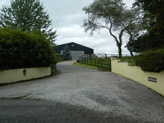
Pant-y-Fen
Pant-y-Fen is a small rural settlement or farmstead located in Ceredigion, Wales, situated in the gentle hill country of west-central Wales. The coordinates place it in an area of predominantly agricultural land, characteristic of the quieter, less-visited parts of Ceredigion away from the coastal towns and the busier Teifi Valley corridor. Like many Welsh-named places of this kind, the name itself is deeply rooted in the Welsh language: "pant" typically refers to a hollow or valley, while "fen" or "ffen" can relate to a ridge or peak, suggesting a place situated at or near a topographic transition — perhaps where a small dip in the land meets a rise, which is entirely consistent with the undulating terrain of this part of mid-Wales. Such descriptive place names are one of the great living legacies of Welsh rural culture, encoding the physical character of a landscape into everyday geography.
The area around these coordinates lies in a part of Ceredigion that sees relatively little tourist traffic compared to the Cardigan Bay coastline or the Cambrian Mountains further east. This is a landscape shaped by centuries of small-scale pastoral farming, where fields are divided by ancient hedgerows, lanes are often single-track and deeply sunken between banks, and the broader skyline is one of low rolling hills. The land here is green for much of the year, fed by the reliable rainfall that sweeps in off the Atlantic, and the sound environment is correspondingly quiet — birdsong, the distant movement of sheep, and the occasional farm vehicle are what a visitor is most likely to hear. It is the kind of place that rewards those who travel slowly and pay attention to the texture of the landscape rather than seeking dramatic set-pieces.
Ceredigion as a county has a rich history stretching back through the medieval Welsh kingdoms, and the rural hinterland in this part of Wales retains a strongly Welsh cultural identity. Many farms and hamlets in this region have histories tied to the old manorial and monastic land systems, with some holdings traceable to medieval records. The broader area around these coordinates is not far from the historic market town of Lampeter (Llanbedr Pont Steffan) to the south-east and the town of Tregaron to the north-east, both of which have served as centres of Welsh rural life for centuries. Tregaron in particular is associated with the legend of Twm Siôn Cati, sometimes called the Welsh Robin Hood, and the wider landscape feels saturated with that deep, slow continuity of Welsh rural existence.
Visiting this specific location requires a willingness to navigate rural Welsh lanes, which can be narrow, poorly signposted, and occasionally challenging for larger vehicles. The nearest larger road network connects through the A485 and surrounding B-roads. Those coming from further afield would likely approach via Lampeter or Tregaron, both of which have basic amenities including fuel, food, and accommodation. The best times to visit the wider area are late spring through early autumn, when the lanes and footpaths are at their most accessible and the countryside is at its most visually rewarding, though the area has a particular austere beauty in winter when mist settles in the hollows.
Because Pant-y-Fen at these coordinates appears to be a farmstead or very small rural locality rather than a publicly designated heritage site or visitor attraction, there is no formal visitor infrastructure — no car park, no interpretation board, no café. What it offers instead is the experience of an authentic, working Welsh rural landscape largely unchanged in its essential character for generations. For those interested in Welsh language geography, vernacular architecture, or simply the experience of genuinely quiet countryside, the area repays a careful and respectful visit. Any access to land beyond public rights of way would require the permission of landowners, and visitors should be mindful of the working agricultural nature of the surroundings.