Foel Fenlli
Foel Fenlli is an Iron Age hillfort situated on a prominent spur of the Clwydian Range in Denbighshire, north-east Wales. Rising to approximately 511 metres above sea level, it stands as one of the most dramatically positioned and well-preserved hillforts along this celebrated upland ridge. The site is designated as a Scheduled Ancient Monument, reflecting its exceptional archaeological significance, and it sits within the Clwydian Range and Dee Valley Area of Outstanding Natural Beauty (AONB). For those with an interest in prehistoric Wales, ancient defensive architecture, or simply spectacular upland scenery, Foel Fenlli offers a genuinely rewarding destination that combines historical depth with outstanding natural character.
The hillfort dates to the Iron Age, broadly spanning the period from around 600 BCE to the Roman conquest of Britain in the first century CE. The ramparts that encircle the summit are among the most impressive surviving earthwork defences in north Wales, consisting of multiple concentric banks and ditches that would originally have been topped with timber palisades or stone revetting. The interior of the fort is substantial enough to have housed a sizeable community, suggesting this was not merely a refuge but a genuine settlement and possibly a centre of local power for the Deceangli tribe, who occupied much of what is now Flintshire and Denbighshire during the Iron Age. Excavations and field surveys have indicated the presence of hut platforms within the interior, lending weight to the idea of permanent or semi-permanent habitation. The site's commanding position made it both defensible and symbolic — a statement of territorial authority over the Vale of Clwyd below.
The name Foel Fenlli carries resonance in Welsh legendary tradition. "Foel" simply means a bare or rounded hill, while "Fenlli" is associated in medieval Welsh sources with a tyrannical king named Benlli Gawr, a figure who appears in hagiographic texts connected to Saint Garmon (Germanus of Auxerre). According to the legend, Garmon visited the hillfort seeking hospitality from King Benlli and was refused, only for a swineherd named Cadell to offer shelter instead. Divine retribution supposedly followed swiftly, with fire descending from heaven to consume Benlli and his stronghold, after which Cadell was elevated to become the ancestor of the kings of Powys. This legend, however embellished, may preserve a folk memory of genuine upheaval at the site during the post-Roman or early medieval period, and it gave the hill an enduring cultural resonance in Welsh tradition far beyond its prehistoric origins.
In person, the physical experience of Foel Fenlli is memorable. The ascent from the lower slopes reveals the hillfort's ramparts gradually, first as earthen ridges rising from the moorland grass and then as increasingly imposing earthworks that dwarf the walker approaching through the original entrance gaps. The summit plateau is open and windswept, carpeted with heather, bilberry and rough moorland grasses that shift in colour through the seasons from deep purple in late summer to tawny gold in winter. On a clear day the panoramic views are extraordinary, stretching westward across the Vale of Clwyd to the peaks of Snowdonia, eastward over the Cheshire Plain toward the Pennines, and on exceptional days as far as the Wirral and beyond. The wind is almost a constant companion at this elevation, and the silence punctuated by the cry of red kites overhead — a species that has made a triumphant recovery in Wales — gives the place a primal, undisturbed quality that is increasingly rare in lowland Britain.
The surrounding landscape is the Clwydian Range itself, a north-to-south chain of heathery summits that forms the backbone of this part of north-east Wales. Foel Fenlli sits roughly in the middle of the range and is connected by the Offa's Dyke Path, a long-distance national trail that runs along the ridge. Neighbouring summits include Moel Famau to the north, the highest point in the Clwydian Range and marked by the ruins of the Jubilee Tower, and Moel Arthur to the south, another hillfort-topped peak that makes for an excellent continuation walk. The Vale of Clwyd lies immediately to the west, a broad, fertile valley with the market towns of Ruthin and Denbigh visible from the summit on clear days. The eastern slopes descend toward the village of Llanbedr Dyffryn Clwyd and the broader approaches to the English border.
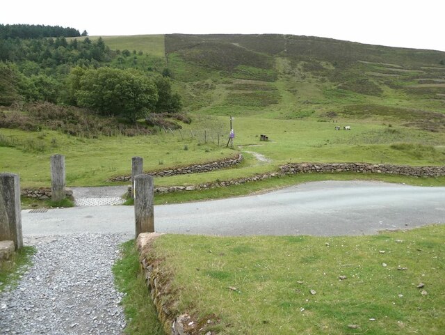
For visitors, the most common approach to Foel Fenlli is via the car park at Bwlch Penbarras, a mountain pass on the minor road between Llanbedr DC and Llangynhafal, which sits at the col immediately to the north of the hill and provides the shortest ascent route. From there, a well-maintained path climbs steeply but directly to the ramparts, taking perhaps thirty to forty-five minutes for most walkers. The Offa's Dyke Path also passes directly through the site, meaning it can be incorporated into longer ridge walks running the length of the Clwydian Range. The terrain is open moorland and the paths can be muddy and exposed in poor weather, so appropriate footwear and clothing are advisable regardless of season. The site itself has no entrance fee and no formal visitor infrastructure — there are no information boards or facilities at the summit, though the car park at Bwlch Penbarras is managed by the local authority. Summer and early autumn offer the most comfortable walking conditions and the heather in bloom, while winter visits can be dramatically atmospheric but require care on frozen or snow-covered ground.
One of the less widely known aspects of Foel Fenlli is the sheer scale of its defensive works relative to many comparable sites. The hillfort's perimeter runs to well over a kilometre and the ramparts at certain points stand several metres high even after two millennia of erosion and weathering — a testament to the enormous communal labour invested in their construction. Archaeologists have also noted that the original entrance passages, of which two survive, were carefully engineered with overlapping rampart ends designed to channel attackers into kill zones where defenders held the advantage. This level of sophisticated military thinking from a society working without metal tools for earthmoving is a detail that rewards a slow, attentive walk around the perimeter rather than a simple dash to the summit viewpoint.